Helicopter over Hawaii

a 2015 12 IMG_8164.jpg

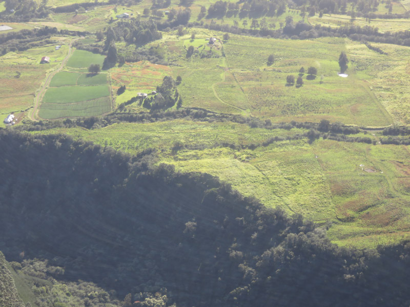
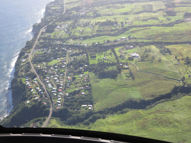
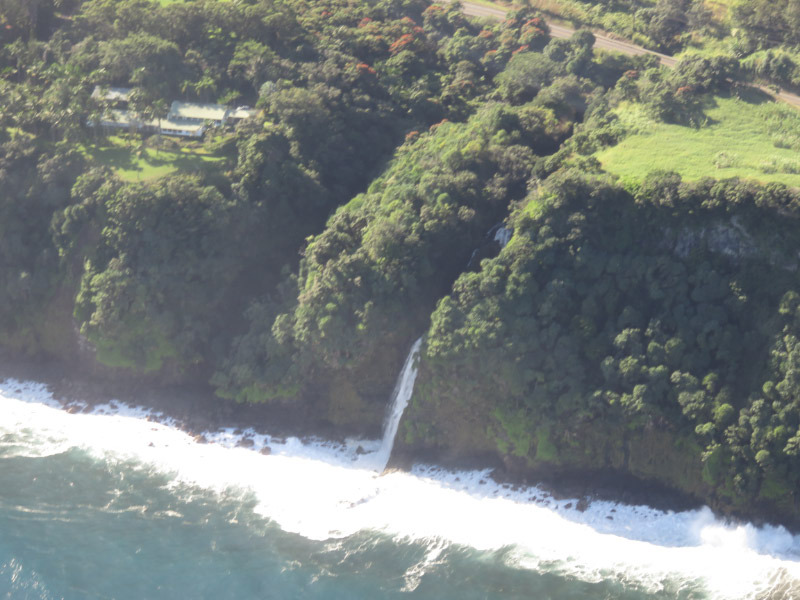
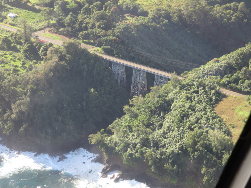
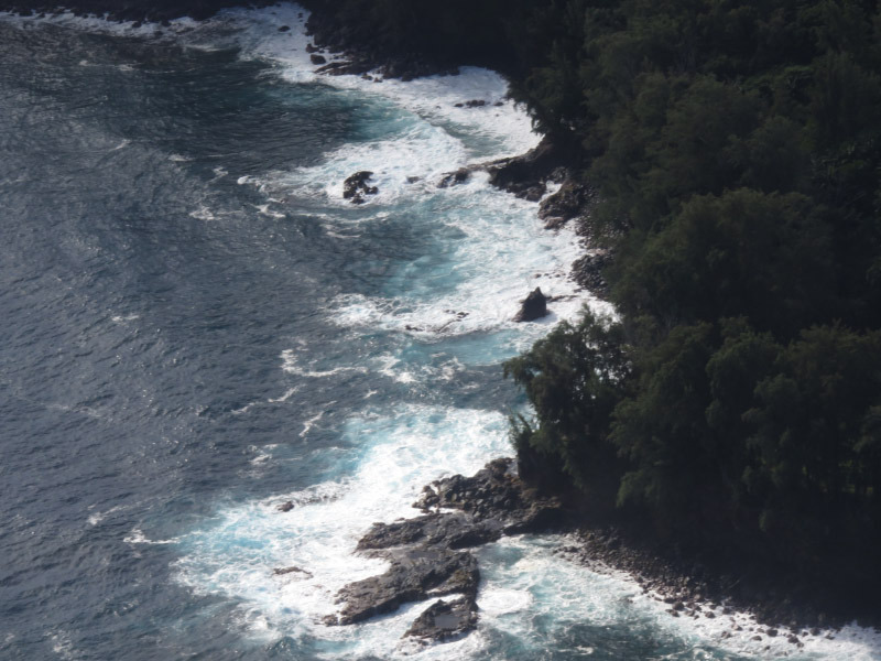
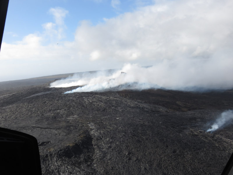
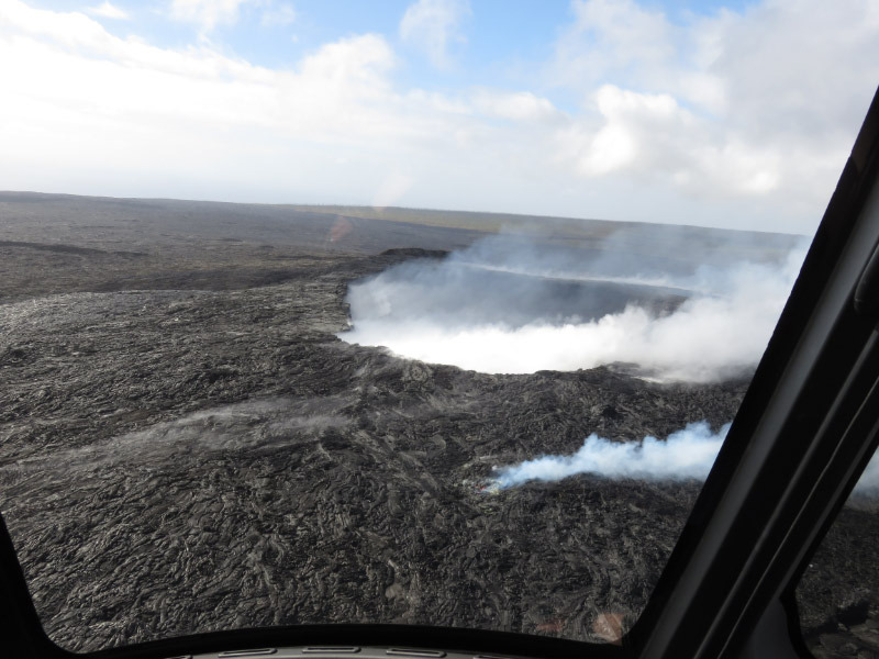
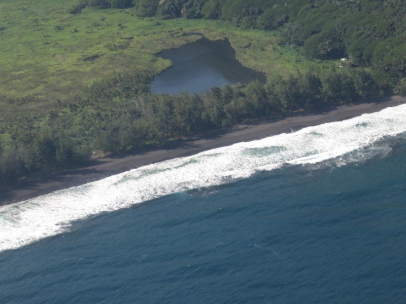
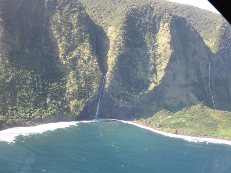
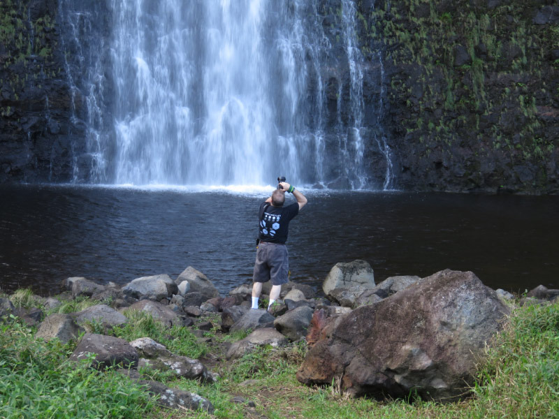
We took a helicopter ride to get a better look at volcanoes and waterfall….the overall terrain of the Big Island. It was quite an experience. My seat assignment was in the middle front (seating was three across in the front and 4 across in the back). We made a loop around the island over a two-hour period. A little over half way through we landed at the bottom of a 400-foot-high waterfall. A narrow strip of land divides the waterfall from the ocean. The land is privately owned so not something that can be seen except via a helicopter tour that has obtained permission.

a 2015 12 IMG_8196.jpg

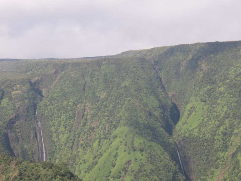
Afterwards we flew up one of the valleys and saw more waterfalls. Some of them were in areas that could be hiked…but they would definitely take a lot of energy to see and, based on my other experience in the rain forest, might be very difficult to see through all the foliage on the ground.

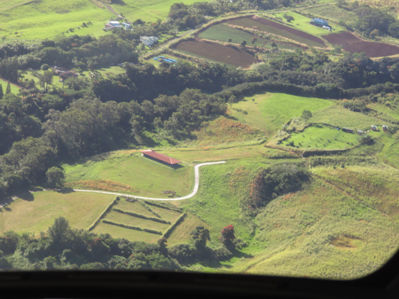
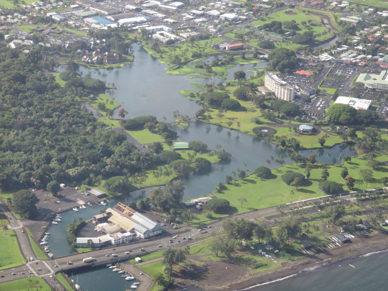
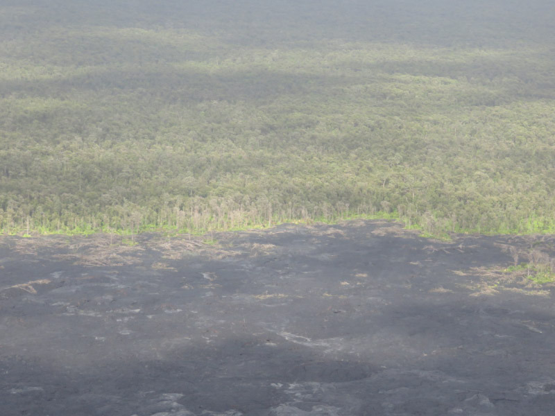
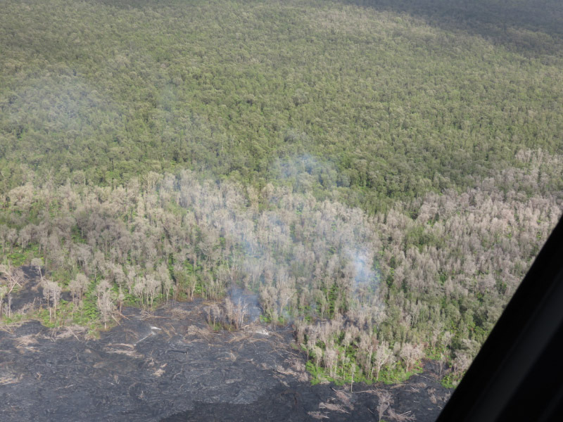
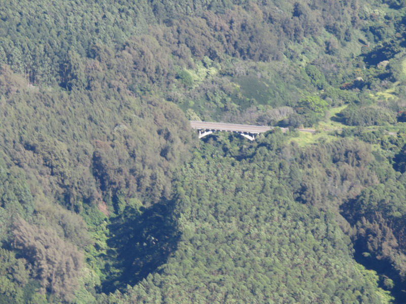
The deep valleys stand out from the air and how neatly cultivates some areas are. Pineapple and sugar cane are no long the cash crops of the island. There are cattle ranches and eucalyptus forests…Kona is known for coffee…macadamia nuts near Hilo. The eye searches for man-made structures to provide scale to the scenes - bridges across deep valleys or the buildings of Hilo. On the lava fields and the shoreline, the edge of the forest provides a notion of scale but the power of lava to change the terrain is evident everywhere. There were tiny areas where flowing lava was visible before it flowed underneath solidified lava through a lava tube.

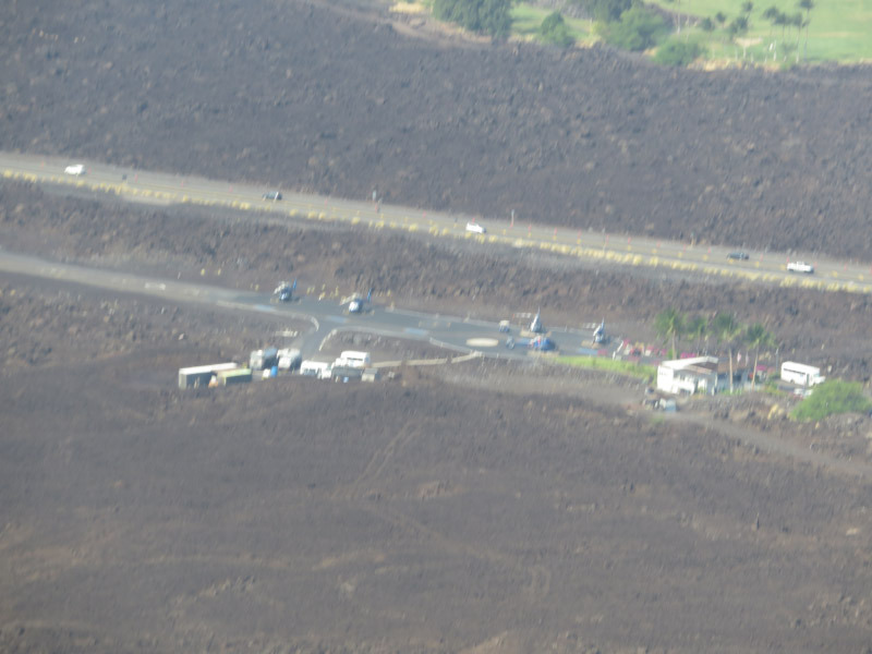
At the end of the ride – we headed back to the helicopter base….made on an old lava flow. I missed the green already!

Chain of Craters Road

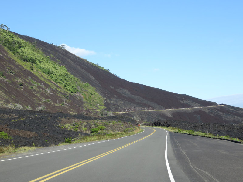
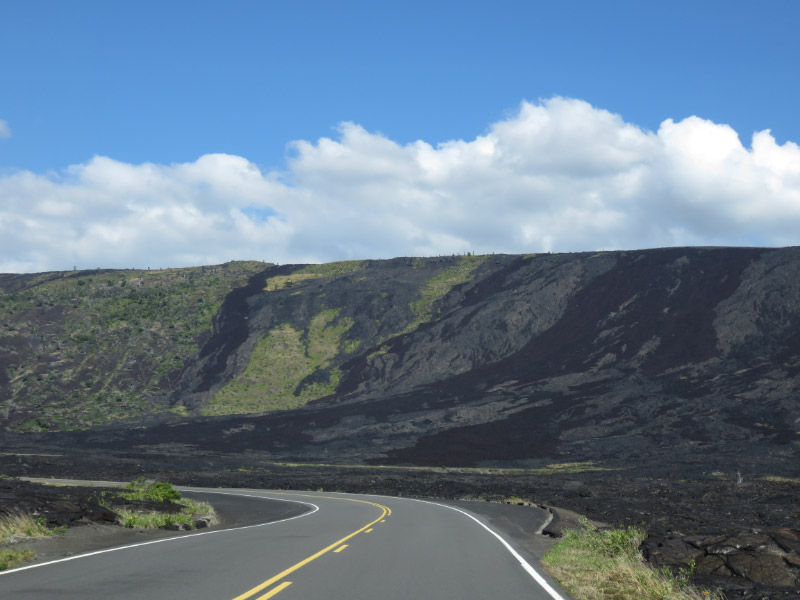
Chain of Craters Road extends from the Kilauea Caldera down to the sea in Hawaii’s Volcanoes National Park – an elevation change of about 3,700 feet in just under 19 miles of roadway. There are stops along the way….and some ‘road trip’ type pictures through the car’s windshield.

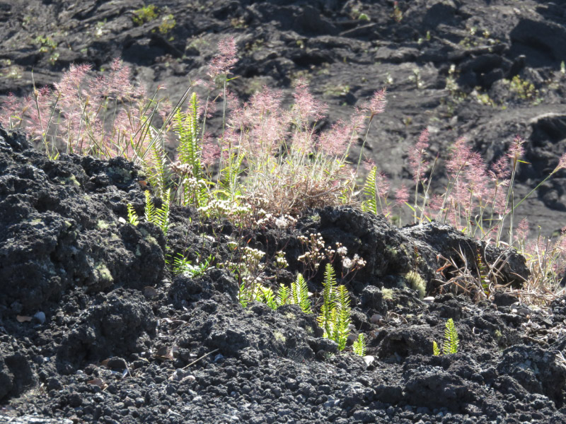
The eye is drawn to the plants that are surviving on the lava – ferns and grasses 

And epiphytes covering trees that are not doing so well.

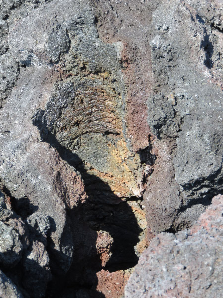
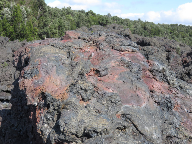
Any color change from black or gray is noticeable. This is a ‘lava tree’ where lava surrounded a tree and cooled enough to retrain the shape of the trunk before the tree burned away completely.

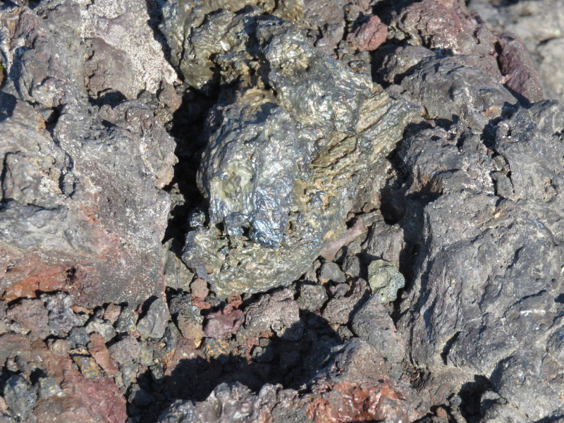
Sometimes there are collection of glassy blobs – shiny and different colors from the surrounding lava.

The color differences may be caused by different cooling rates or mineral content of the lava.

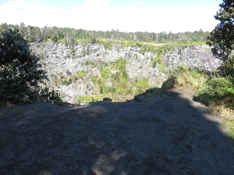
There are craters along the road. Some are quite old with light gray lava and tress clinging to the sides.

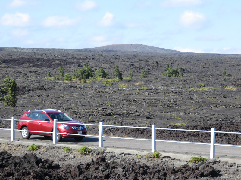
 And then there is a stretch where there is fresher lava on both sides of the road. Mauna Ulu is the background of this picture.

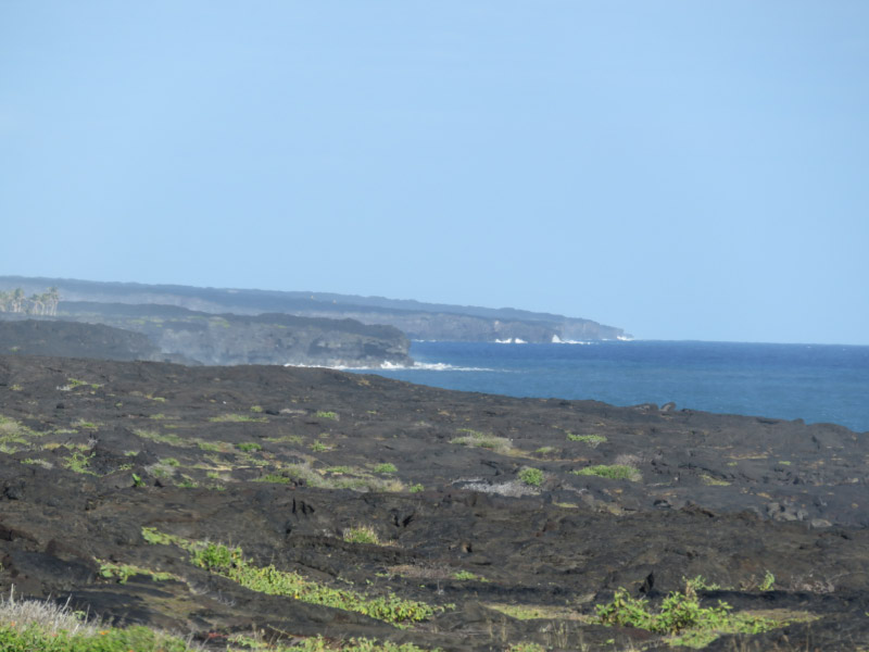
As we drove down the cliff to the sea – it was clear where lava falls has gone over the surface and down to the sea.

There was a road cut through one such flow.

Seeing this – I wondered why the majority of Hawaiian beaches are not black sand!

Previous Hawaii Posts:

Thurston Lava Tube and Kilauea Iki Trail

The first small hikes that we did at Volcano National Park were two that share a parking area: Thurston Lava Tube (Nahuku) and Kilauea Iki.

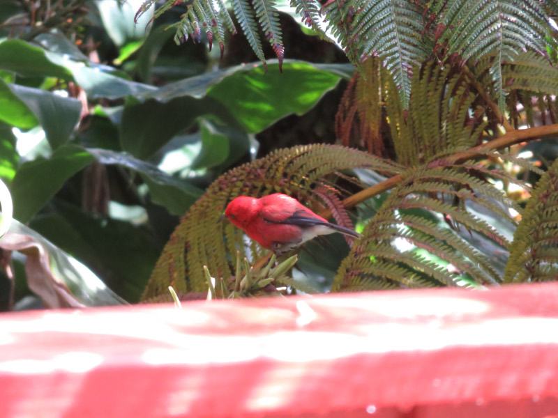
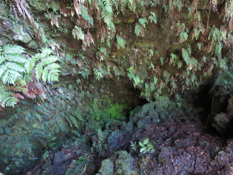
The first is a trail that goes through a lava tube. My pictures of the lava tube did not turn out (lighting was too dim) but it was interesting to see the marks on the sides of the tube from the lavas that flowed through it. Along the way I saw colorful birds (this on might be an Apapane in the forest

And ferns and moss that are colonizing the lava at the entrance to the tunnel.

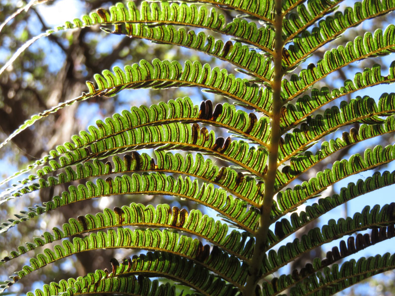
The hike to Kilauea Iki – a cooled lava lake – begins at the rim of the crater in the rainforest. The path proceeds down a series of switchbacks. The ferns are at eye level.

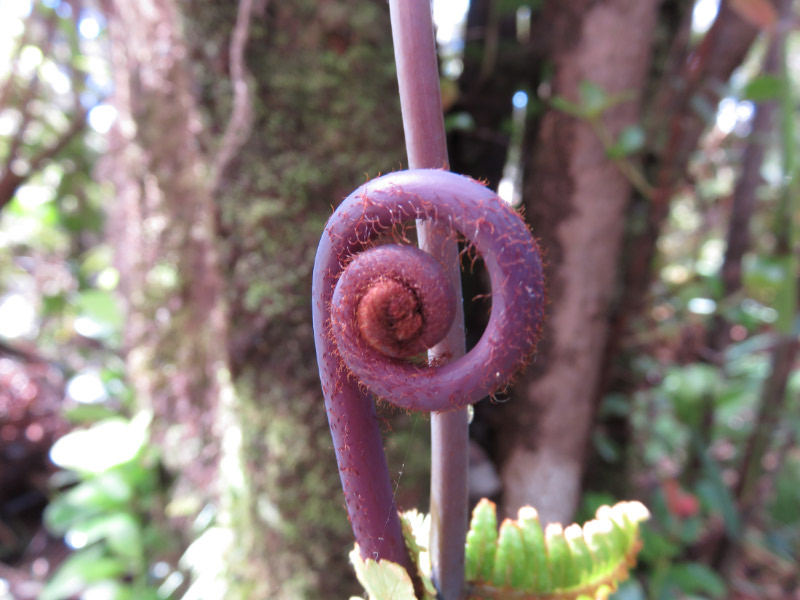
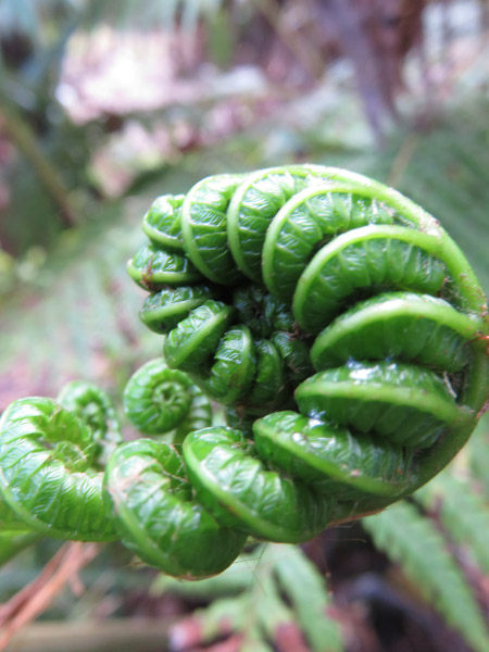
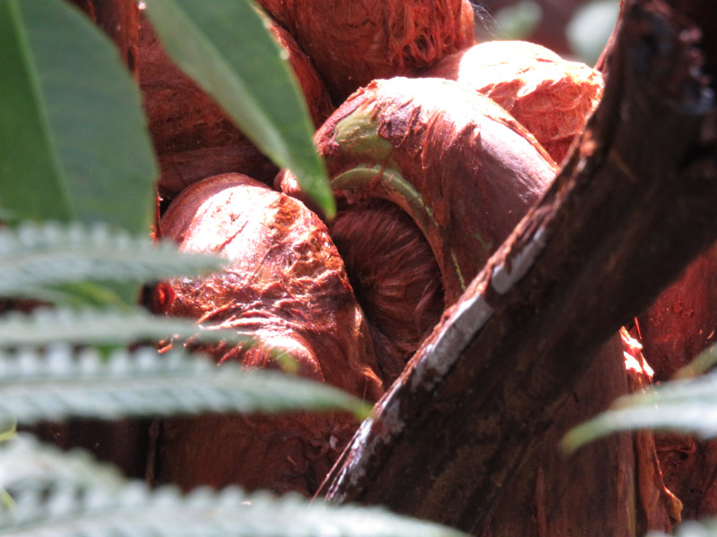
I captured quite an array of fiddleheads – purple, green, encased in a brown husk, hairy.

And then the trail emerges from the forest onto the lava lake. The trail here is marked with stakes of rocks on the undulating terrain of solidified lava. Do you see the people along the trail? That provides a sense of scale for the place. The lake was formed in 1959 – so a relatively young volcanic feature.

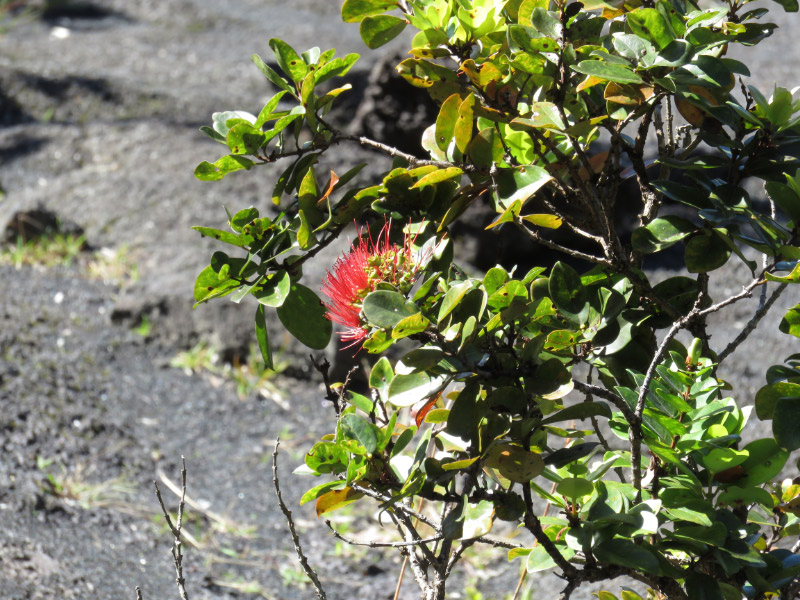
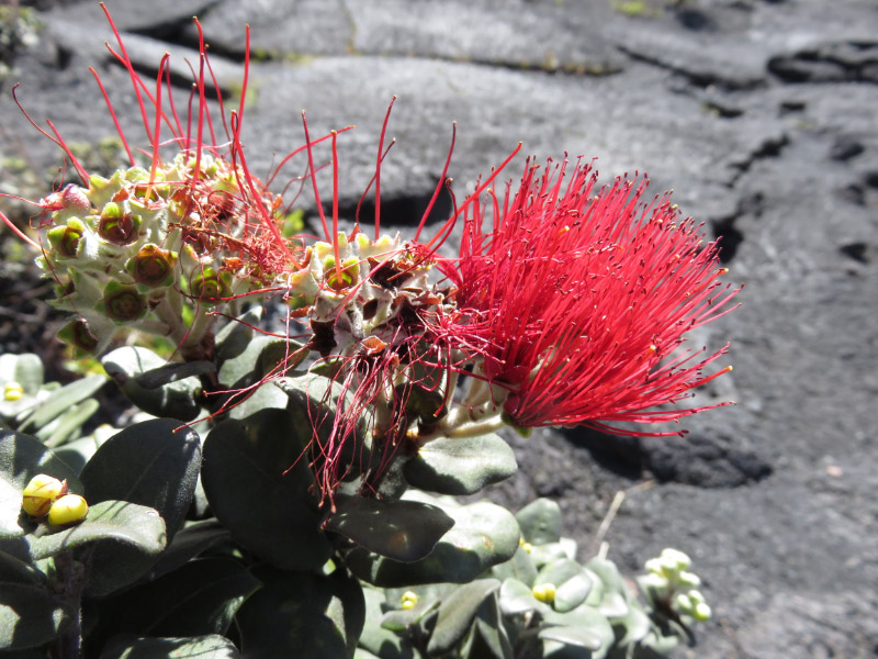
Ohi’a lehua have colonized the edge of the lava lake.

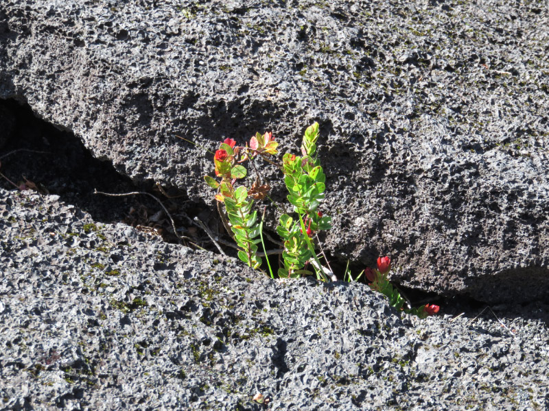
Ohelo are there as well. This one does not have any red berries. The Nene (Hawaiian goose) evidently like the berries.

The Ae ferns area also hardy colonizers of the lava.

At one edge of the lava lake there are steam vents.

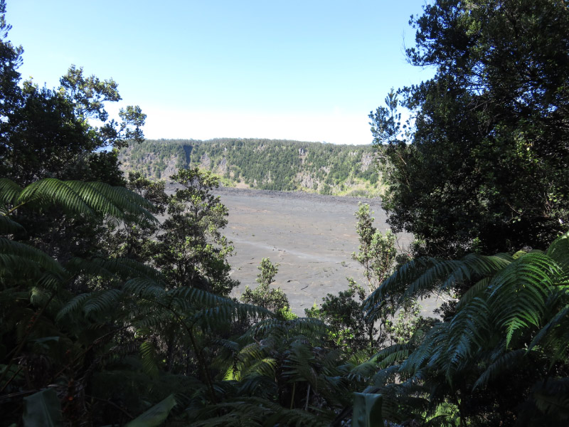
We didn’t hike all the way across the lake…climbing back up the trail to the parking lot through the forest. Here is the view from after we reached the top.

Previous Hawaii Posts: