Rain and the Middle Patuxent
/Last Friday, I had all my gear prepped and was almost walking out the door when I got the word that the field trip for high schoolers to assess stream health in the upper part of the Middle Patuxent River (in the Middle Patuxent Environmental Area) was cancelled. There was a line of heavy thunderstorms come through the night before and crossing the river on rocks was impossible. It’s been a rough fall for stream surveys with all the heavy rain we’ve gotten. I waited until mid-morning then headed out to see the high water myself – recruiting my husband to go along. It is about 15 minutes from our house.
Like a lot of forested areas in our county, there are scheduled deer management hunts posted on bright red signs. There is a similar one in our neighborhood for the forest behind many of our houses (and down to the Middle Patuxent River).
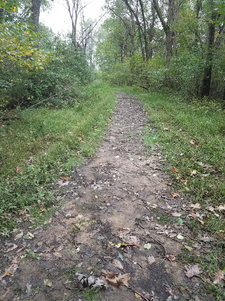
The South Wind Trail started out as older asphalt then became grass with some muddy places.
I saw some Christmas ferns under a low growing tree just off the path.
The closer we got to the river the muddier the trail got. The ground was clearly saturated. It would have become quite a quagmire with 60+ students, teachers, and volunteers hiking down to the river.
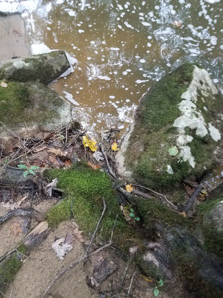
At the river the water was higher than I’d see it and foam was floating on the surface. The rocks we used to get across the river where we did most of the sampling were partially submerged…to dangerous to cross the river. The amount of sediment and rapid flow of the water would have made it had to find macroinvertebrates as well.
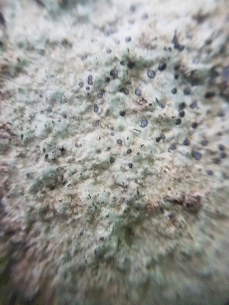
At first, I thought the gray areas of the rocks close to the river were lichen, but when I looked more closely, the areas looked more like they had been scoured and the lichen might be starting to grow again – very slowly.
As we continued around the loop to get back to our car, a part of the trail looked like it was becoming a rivulet into the river. Since the water had not made a ditch yet, it might be something that has just happened this fall.


