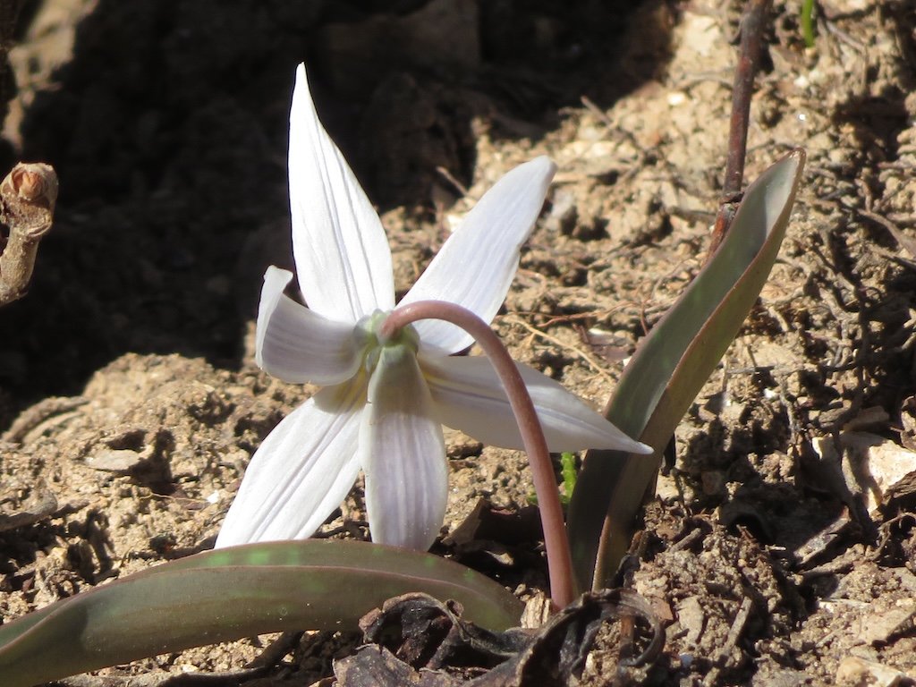
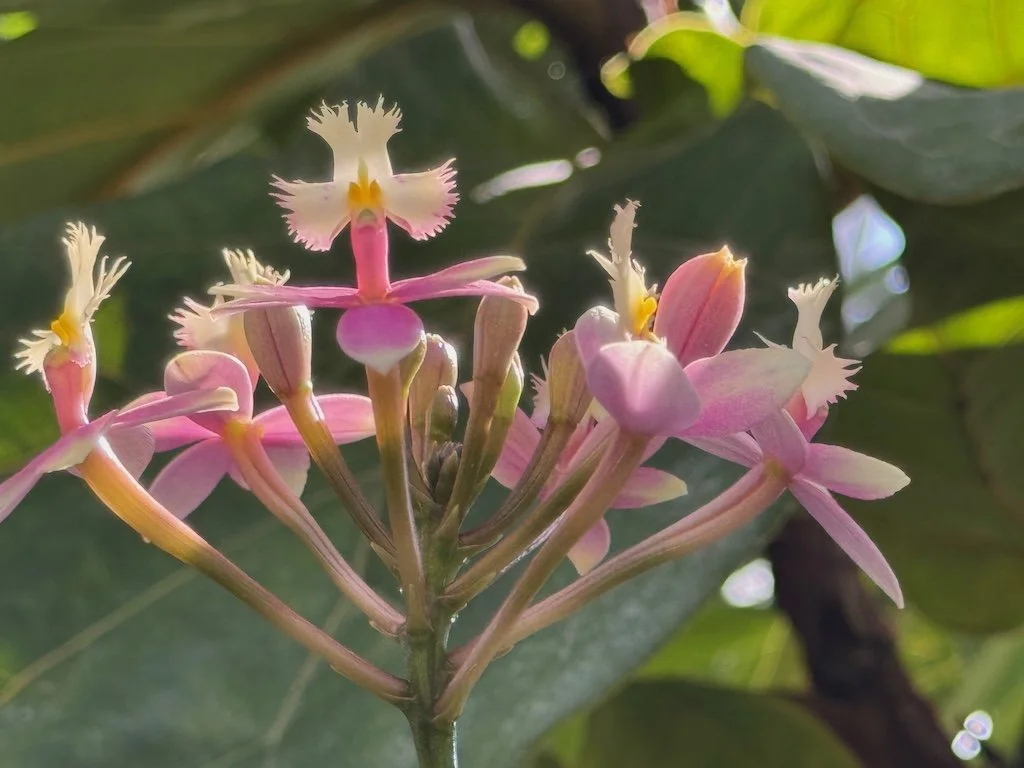
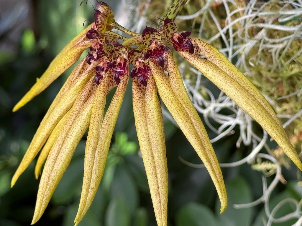
Learning about Missouri Geology – February 2025

The geology class/lecture I am taking at Missouri State University is providing good background in general geology…but I am most interested in the geology of Missouri…trying to be more aware of the geologic features around me.

My copy of Roadside Geology to Missouri has been a good reference. On the drive from Nixa to Branson, MO, my husband’s navigation system took a scenic route (to avoid a construction area); the two-lane road was predominately downhill and followed Woods Fork over to US 65.

The road cuts are spectacular along US 65 with one of the tallest marking the margin of the Springfield Plateau…and then the Salem Plateau as we continued south. There are layers of limestone, dolomite, and shale. There were frozen ‘waterfalls’ from some of the cuts. The day was sunny, so it was easy to get pictures of the cuts as we moved past.

We stopped at the Branson Scenic Overlook downstream from the dam that created Table Rock Lake. The overlook area was the first proposed location for Table Rock Dam. There were evidently too many cracks and faults in the rocks to build it at this location. The dam was built in the 1950s and spans the White River creating the deepest lake in Missouri.

The view for the overlook shows Branson and the lake in the distance but I was more interested in the river immediately below…the bare trees and remnants of snow…ripples in the cold water.

Our field trip to the prairies near Lockwood MO (from Springfield) took us from the Springfield Plateau to the Osage Plains. It was a very cloudy day, so I took few pictures - I did notice the flattening out as we drove around farmland with parcels being maintained as prairie. There were low rolling hills. There was a significant windfarm….indicating that the wind there is reliable enough to make it worthwhile.

The final geology adventure in February was the monthly Missouri Master Naturalist meeting. The topic for the month was Missouri Geology!

Previous Missouri Geology posts