Geology Course Experiences – April 2025
/Over the past month, the online geology course has moved along slowly with only another 2 chapters covering waste management/landfills and landslides. There was a week-long pause for Spring Break. I am glad I chose this version of the geology class (It’s titled ‘Earth: The Survival Guide’) since it provides a background for items in the news that have a geologic component. The syllabus for the next few weeks shows a significant uptick in topics with 4 chapters before the last exam on May 1. It seems like the course pacing is dramatically skewed toward the end.
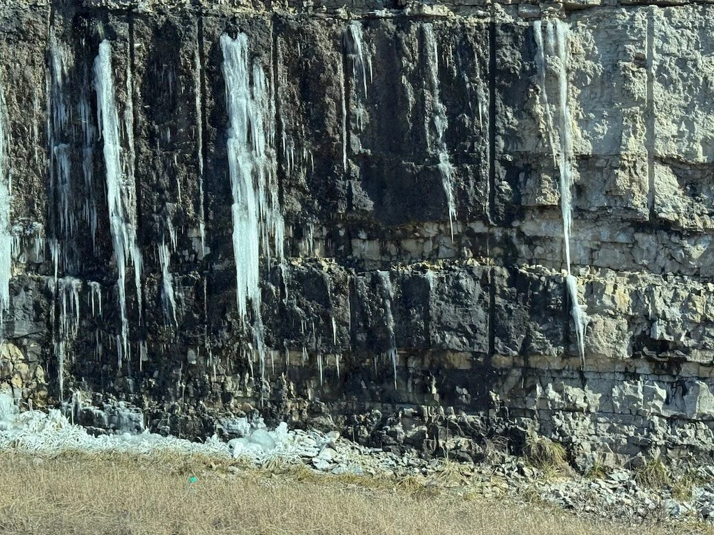
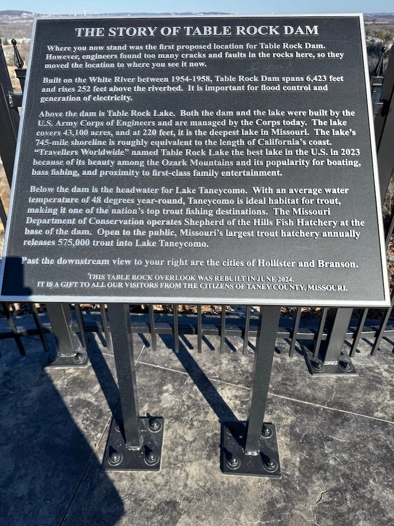
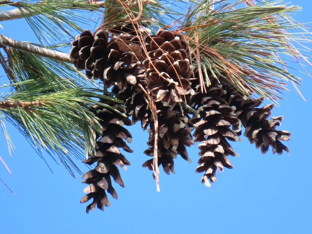
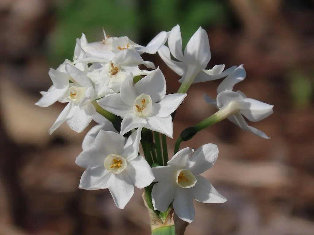
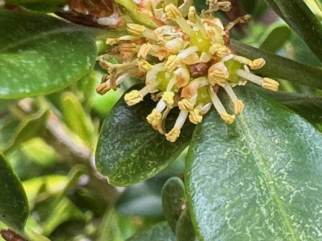
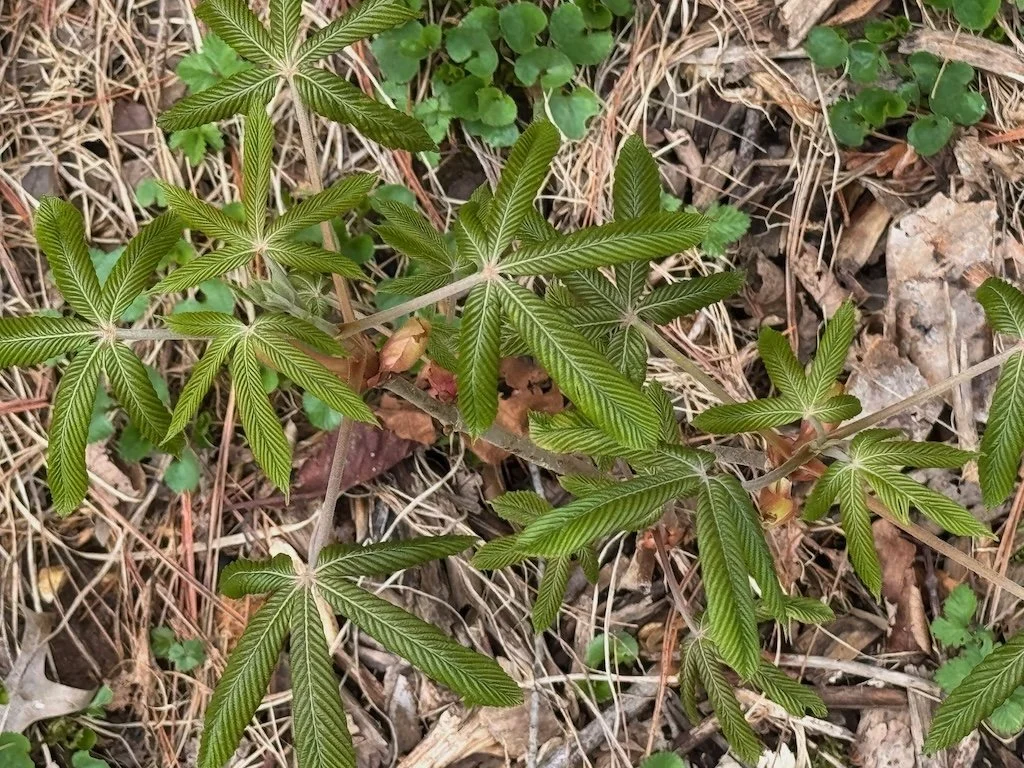
I was disappointed that the scheduled field trip day was canceled because of weather (rain the previous days and the scheduled day, flash flooding and river flooding). Evidently there is not going to be another attempt. I’ll have to make do with my own observations as I travel around the state…and the geology field trip with Missouri Master Naturalists that is scheduled for early May; hopefully the weather will be better for that one.
The labs were also impacted by spring break. Topics were:
Groundwater contamination investigation that involved samples to be tested for nitrates, total dissolved solids, pH, and salinity…then pinpointing where contamination was coming from using a contour map of industries and where the samples were collected.
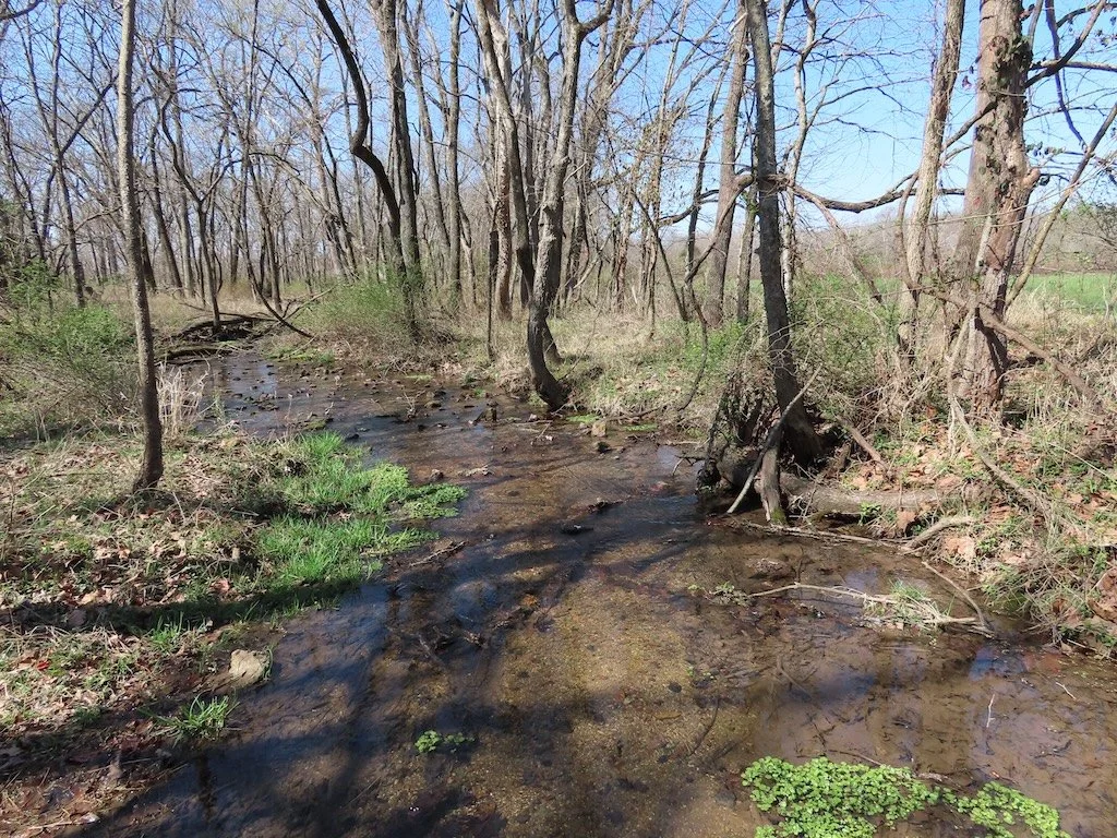
Streams and rivers using topographic maps to observe how river move along the surface and the observable structures from the interactions between water and the surface (things like natural levees and oxbow lakes).
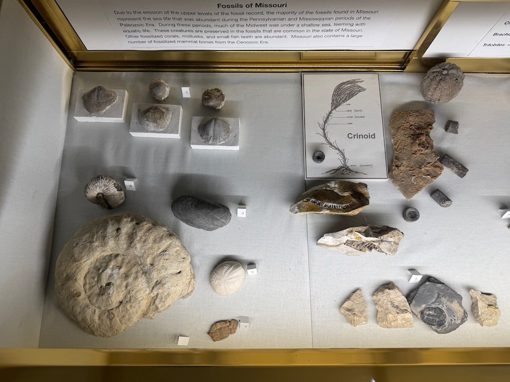
Geologic maps – looking at the geographic distribution of rock units exposed at the Earth’s surface. Maps of Webster County MO, Bright Angel Quandrangle, AZ (part of the Grand Canyon), and the Williamsville Quadrangle, VA (part of the Appalachian Mountains).


The ‘streams and rivers’ lab was not on the original syllabus and there has not been an update showing which of the labs will be dropped. I hope the ones on Caves/Karst and Shorelines will still be part of the semester.
I am anticipating a flurry of activity between now and the end of the semester! There are a lot of textbook chapters in the syllabus that we haven’t done yet.