Cedar Gap Conservation Area
/My daughter and I took an early spring hike at Cedar Gap Conservation Area near Seymour MO this week. It is about 45 minutes from where we live along good highway…to a 2-lane road that heads into the country side for less than a mile before it turns to a gravel road, and crosses some railroad tracks just before the small parking lot. The Cedar Gap Plateau is the second highest point in the State of Missouri! Three watersheds begin from the plateau: Gasconade River, Finley River, and Bryant Creek.

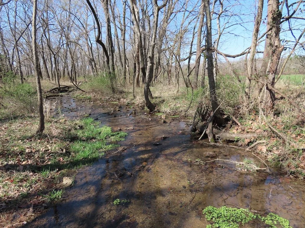
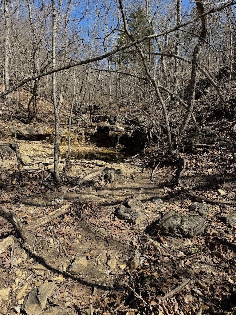
The trail is downhill to a stream – the headwaters of Bryant Creek. The trail is gravel that is sometimes large enough and loose enough that going downhill is considerably harder than going uphill!
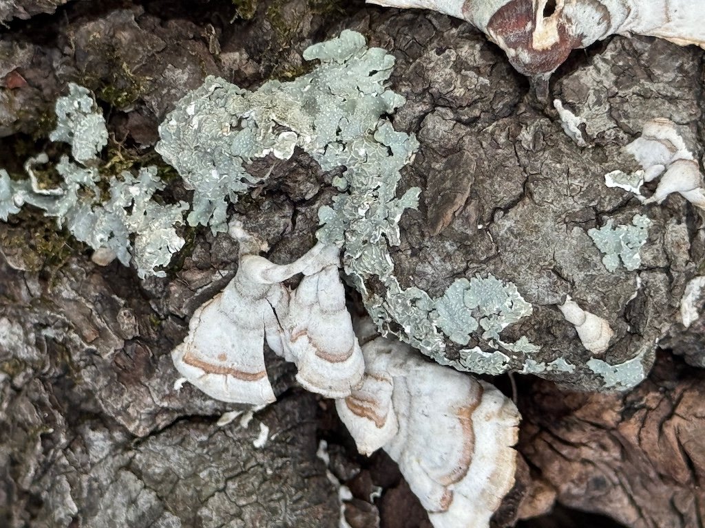
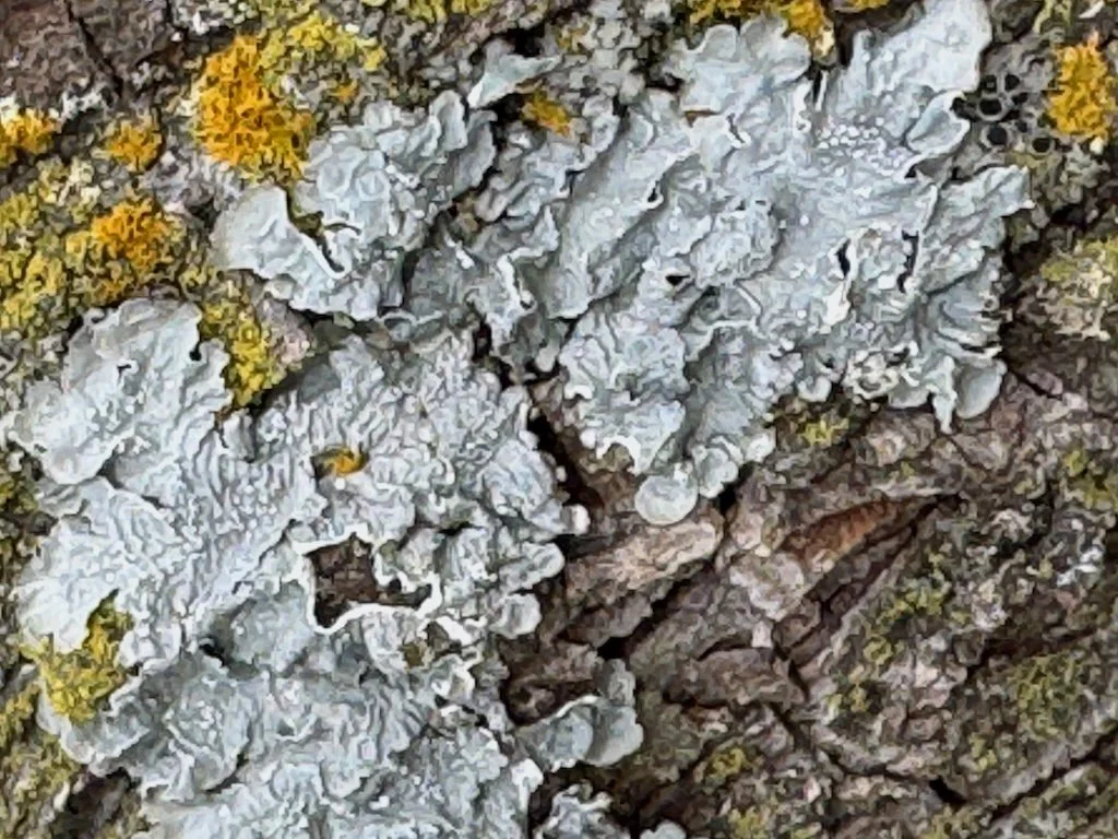
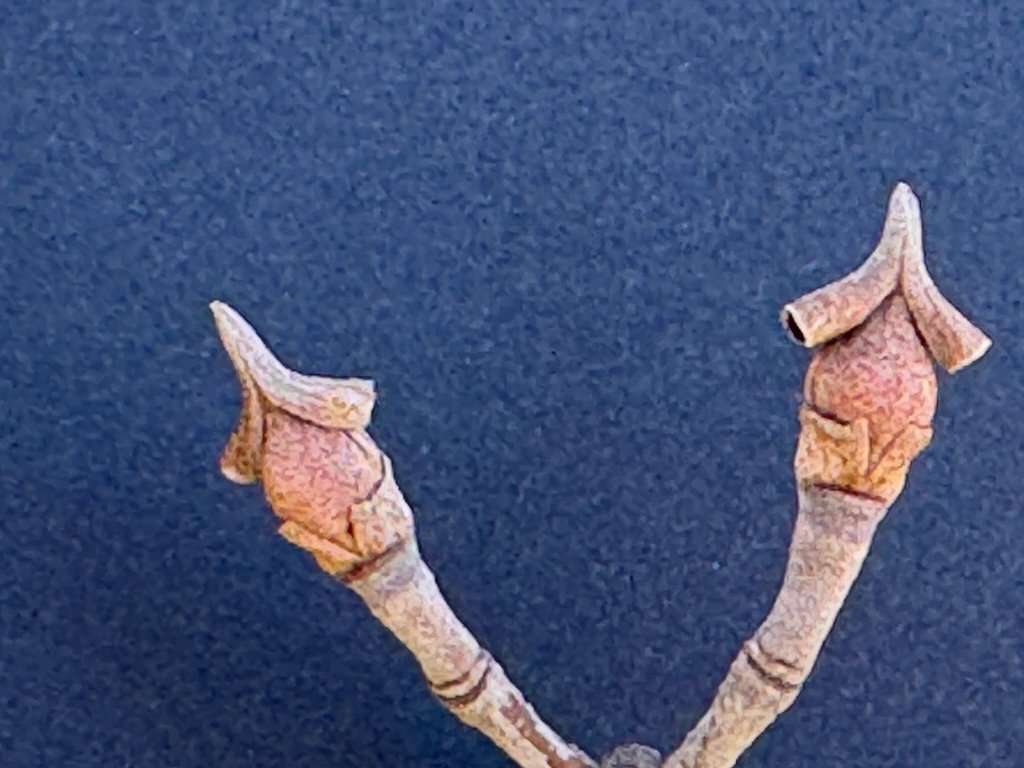
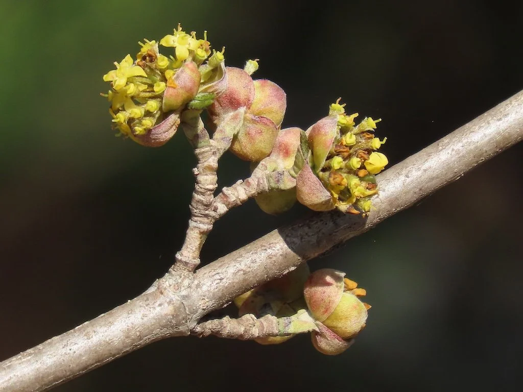
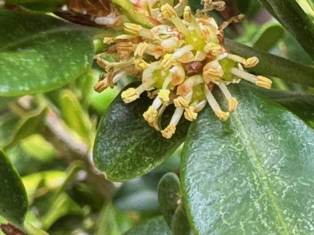
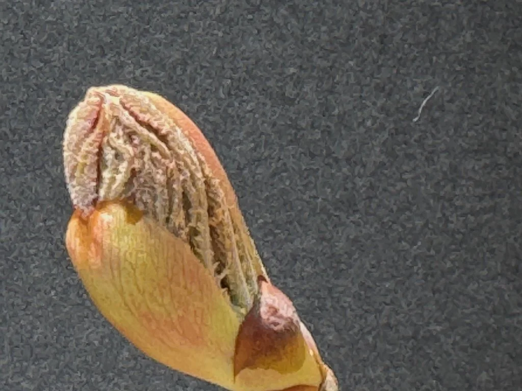
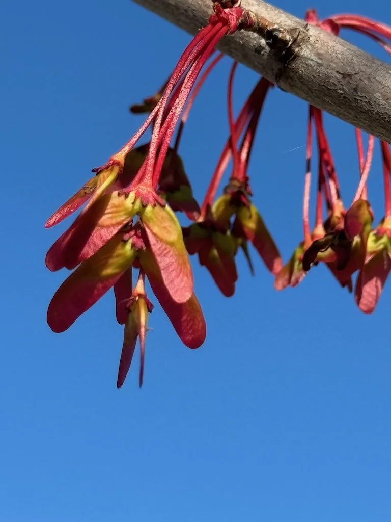
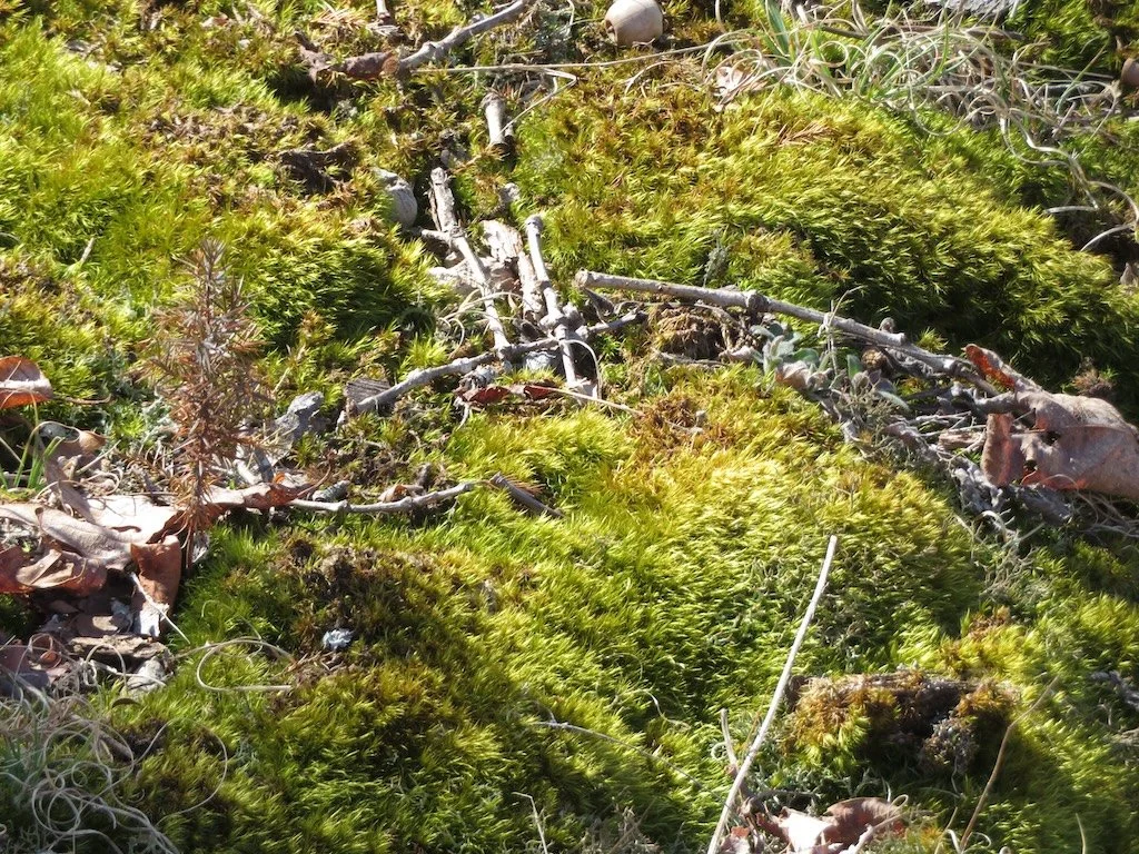
We noticed some redbuds with buds developing but not open year. I stopped to photograph a small nest left from last season and some very green moss.


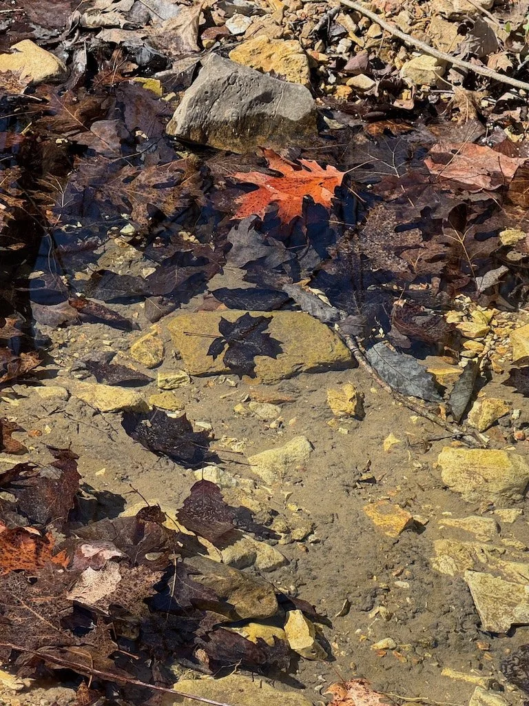
It was not long. Before we heard trickling water! The water stairsteps down over rock ledges into pools…some clogged with leaves and others clear to the rock at the bottom of the stream. It has not been a wet winter or early spring so there was not a lot of water.


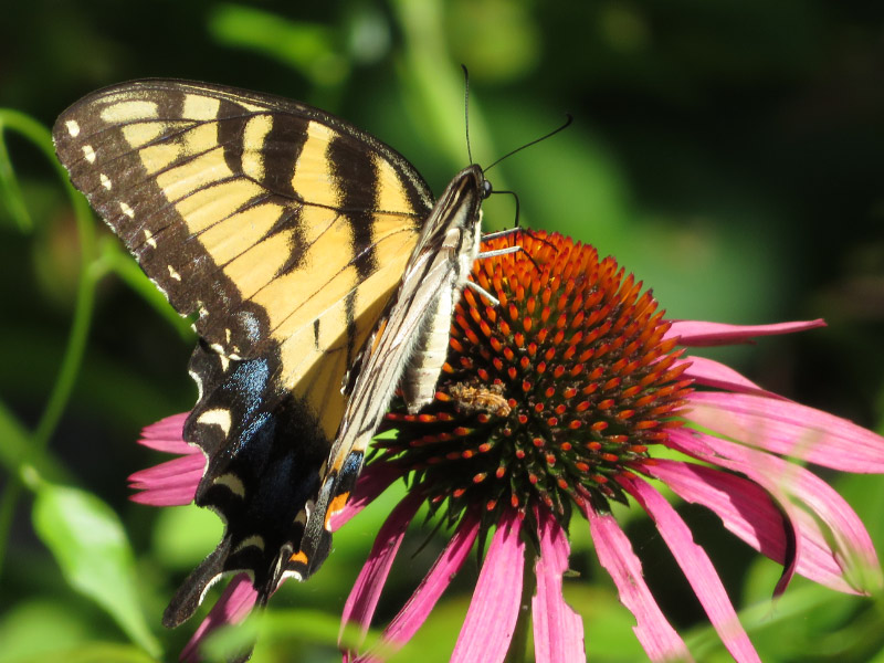
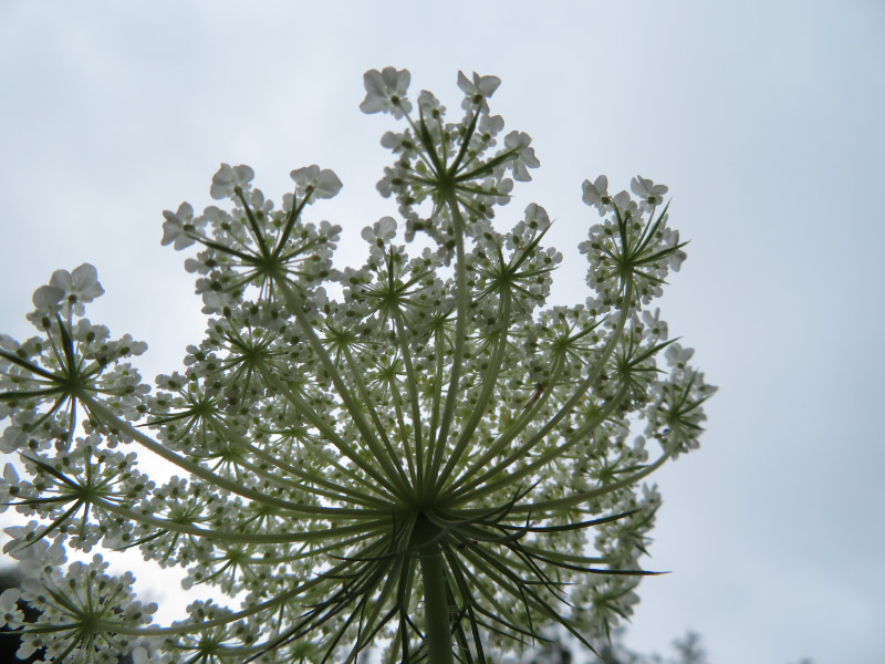
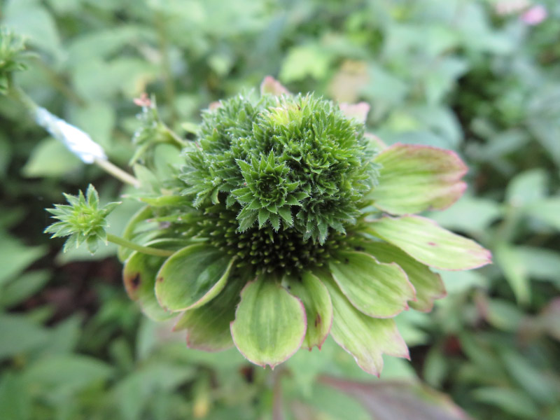
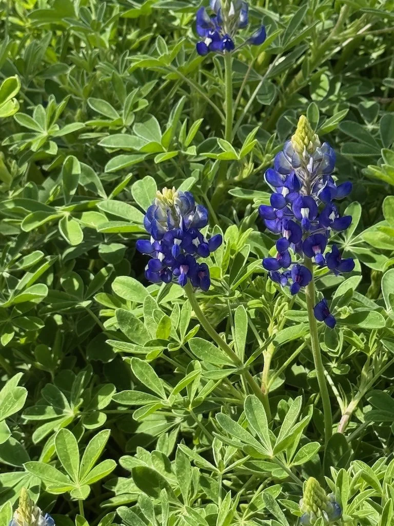
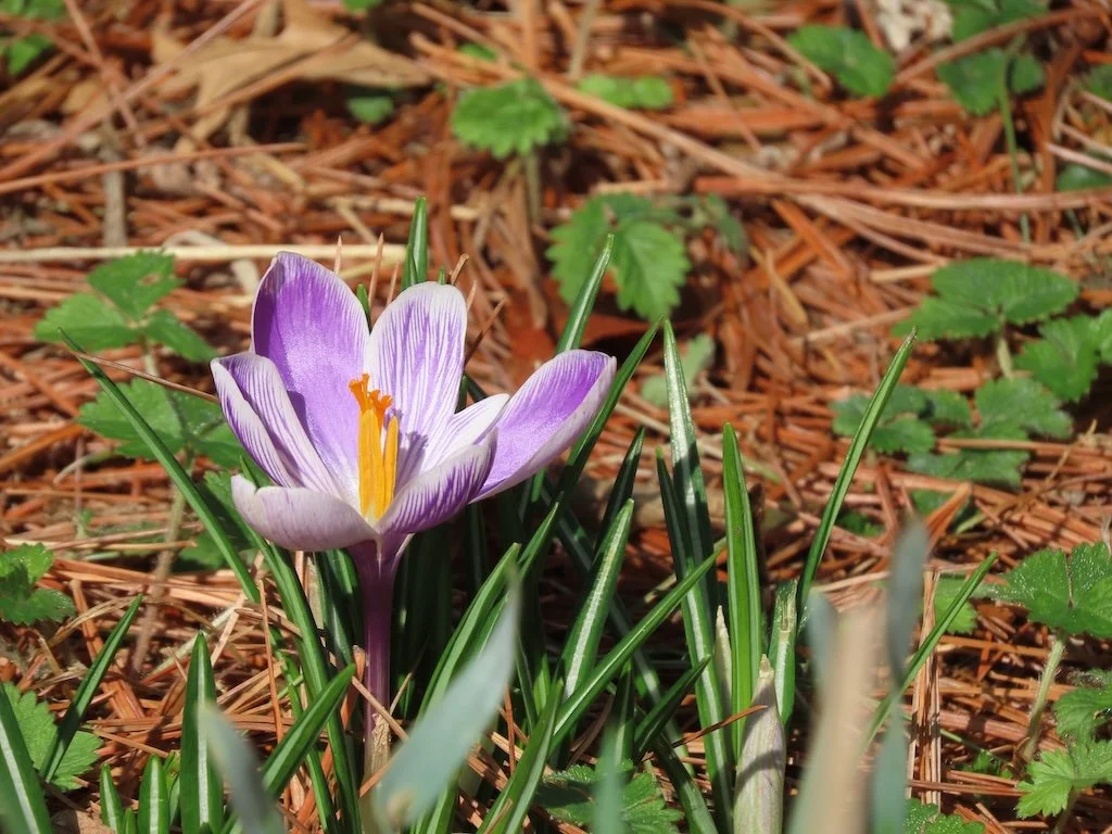
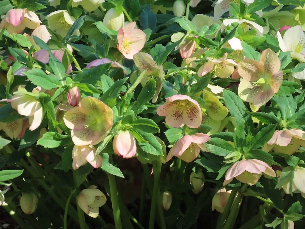
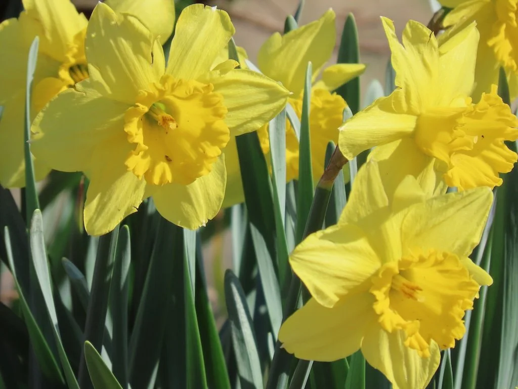
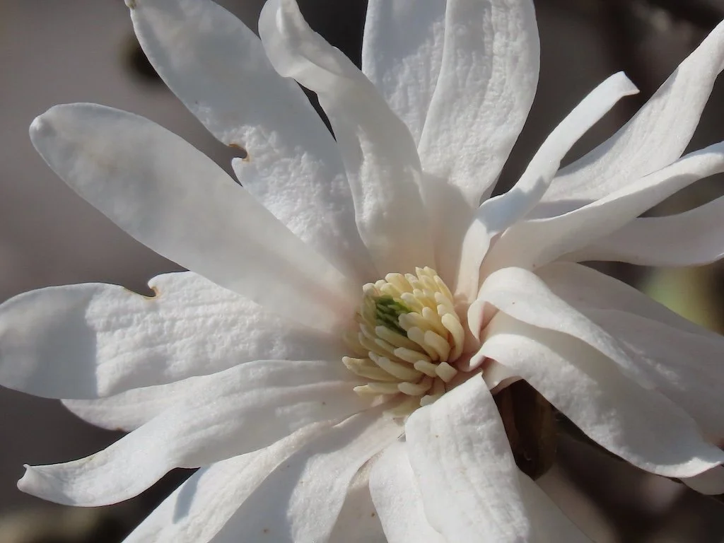
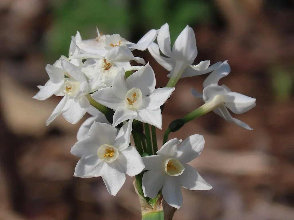
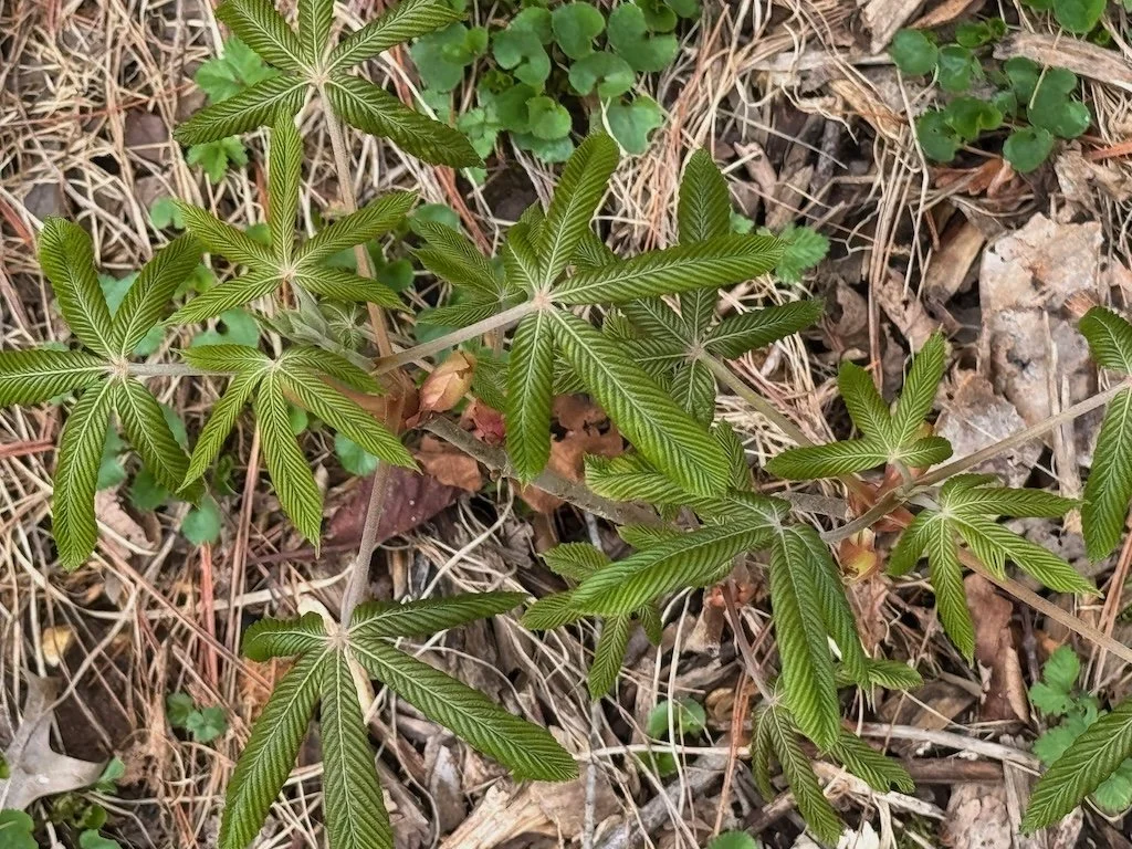
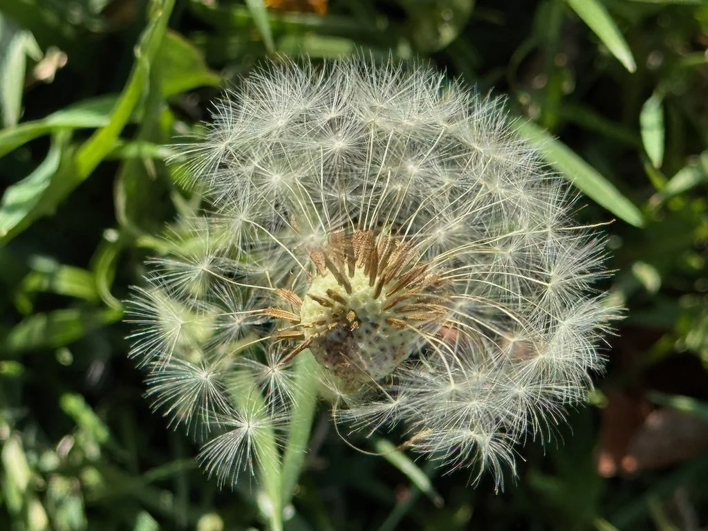
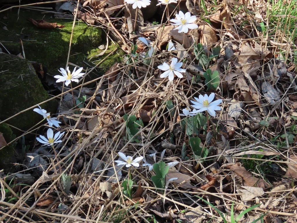
We saw a few wildflowers coming up through the leaves left from last fall.


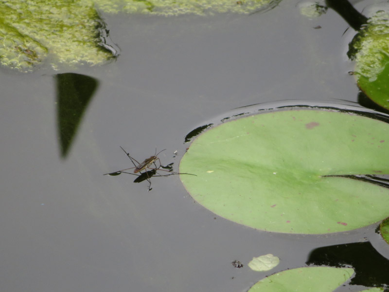
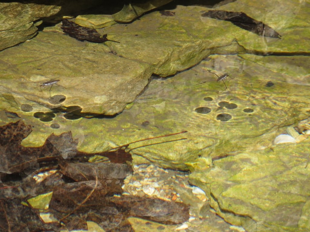
I attempted to photograph some water striders. Their shadows show up more than the insects.

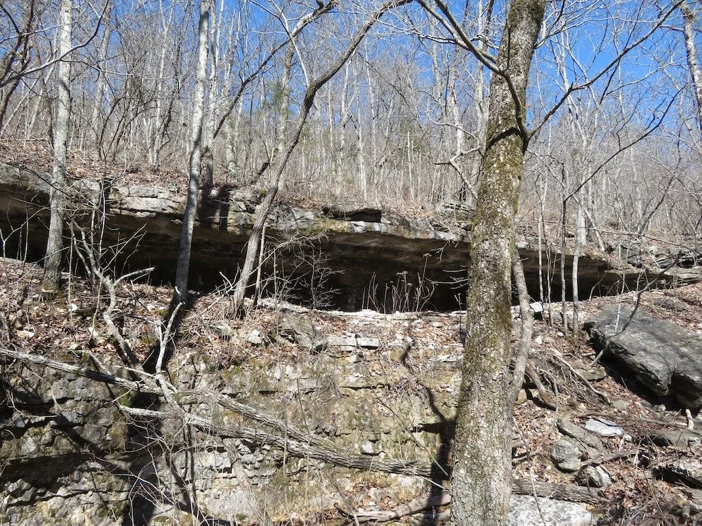
I walked a little further up to take a picture of overhang and realized that water was dribbling off the top…maybe evaporating before it reached the stream.
We hiked back up the trail the way we had come. The hike is a loop, but I wasn’t sure that we were half way around….and didn’t want a longer hike. I made stops on the way up (a steep trail) but felt surer footed than when we walked down. My last picture was of trees on top of the highest area…still like winter…but we know they will leaf out soon.

My daughter and I enjoyed a Mexican food lunch in Seymour before we drove home.
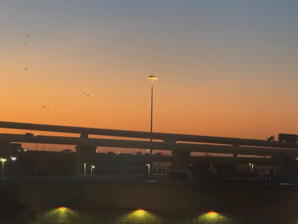
My daughter and I enjoyed a Mexican food lunch in Seymour before we drove home. The grand finale of the trip: as we drove toward my daughter’s house in Springfield, we saw two bald eagles soaring overhead. Fortunately, we were stopped at a red light so we both were able to safely see them!